


A Hike to Lost Lake
on Colorado's Grand Mesa

Lost Lake is one of the only two natural lakes (that I know of) on the Grand Mesa - and the other one isn’t completely natural, having been enhanced by a dam.
Both are long and skinny, and there is a reason for that. Here is a diagram from a geologist’s paper about the “slump blocks” on the Mesa:

As the soft Mancos Formation shale erodes away underneath the hard lava flat top of the Mesa, the land at the edge of the Mesa slumps down, taking the hard lava with it. Lost Lake and Island Lake formed in the notches made by the highest slump blocks, one on the north side of the Mesa and the other on the south side. So, both are long and skinny.
Lost Lake has remained undisturbed for tens of thousands of years. The sediment in its bottom has been studied, and found to have a remarkable record of climate changes throughout the eons.
There is no road to it; you have to hike in. The trailhead is at Mesa Lake #3, a popular recreation spot that has a road, a parking lot and even a resort:
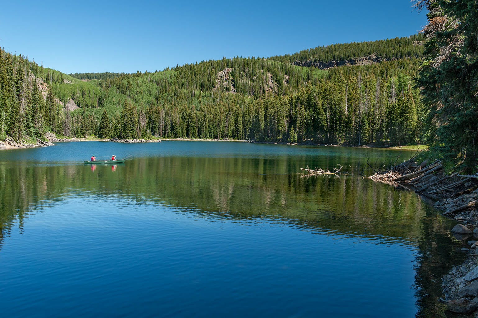
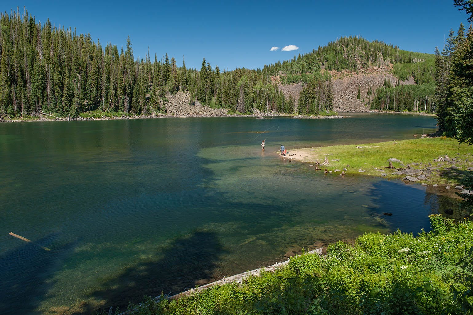
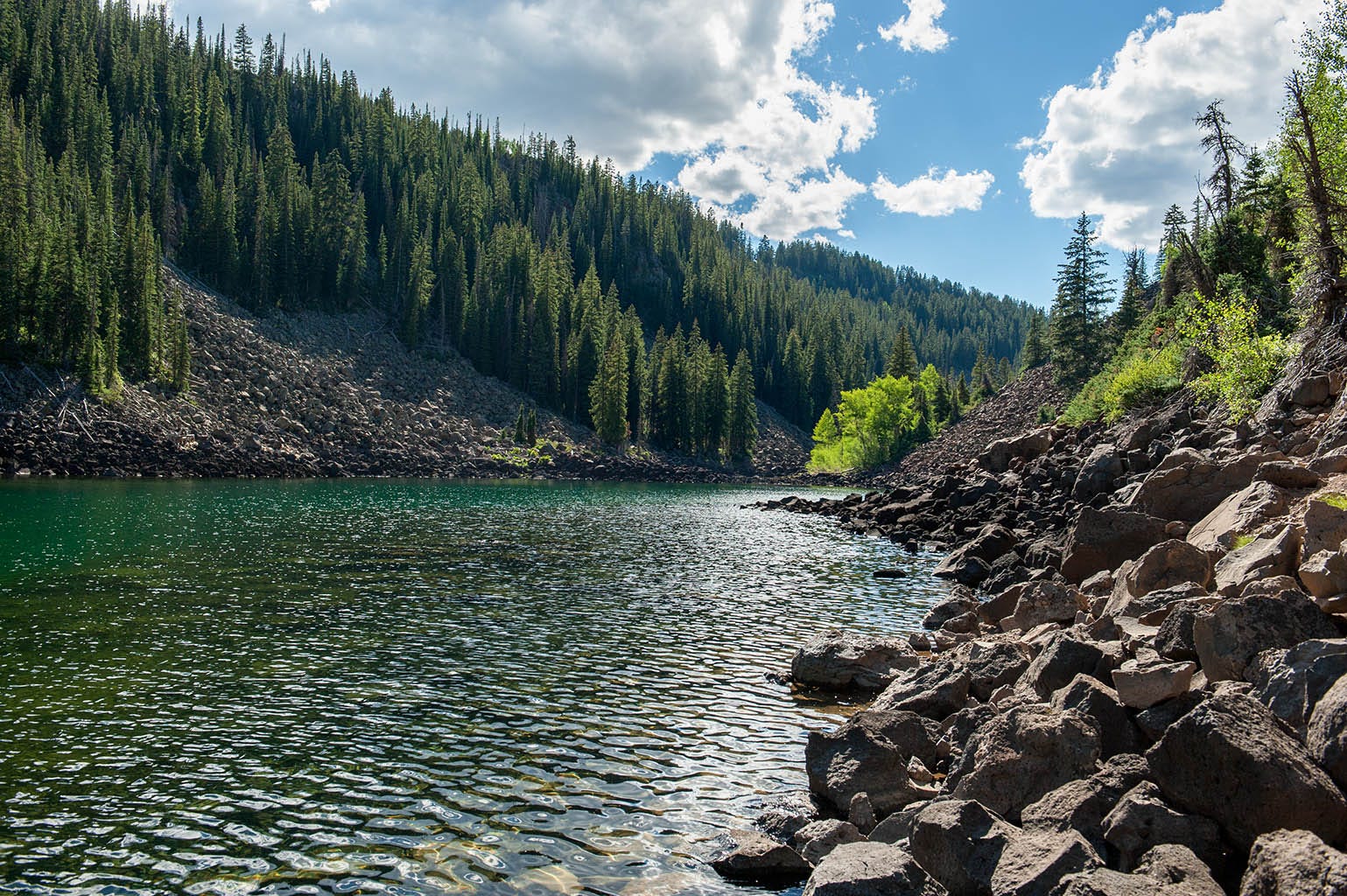
Both of the above shots were taken from the trail to Lost Lake. It’s not a long trail, and only gets difficult at the end as you make your way up and over the edge of the last (highest) slump block, visible on the other side of this next lake on the trail, South Mesa Lake.
Lost Lake is just over that pile of broken lava on the far side of this lake. Here’s another view of this lake:
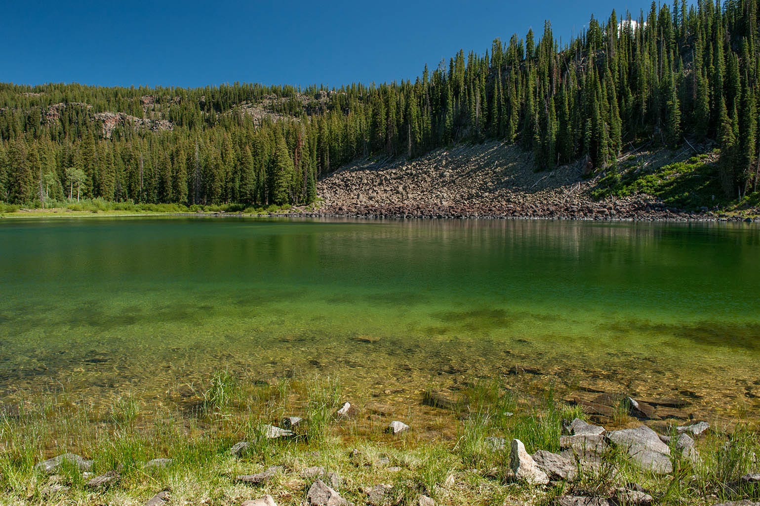
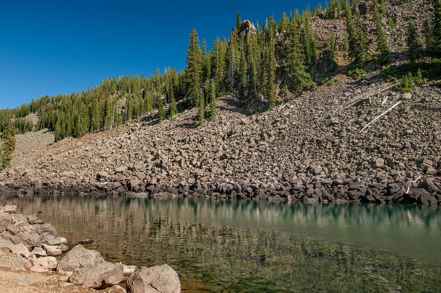
After a short rocky climb over the last slump block, Lost Lake comes into view.
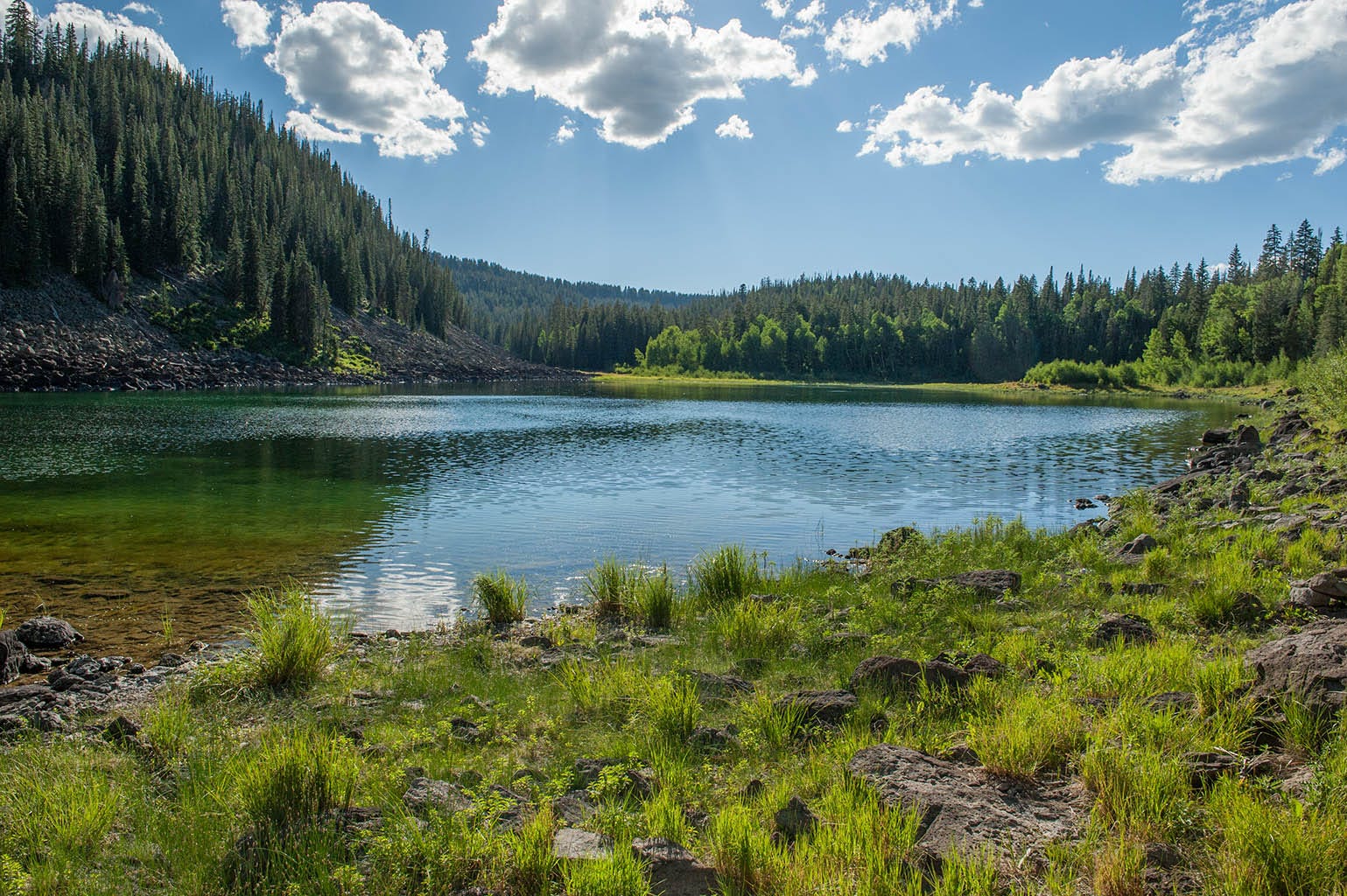
It was a bit of a disappointment, actually. You can’t walk around it; the entire shoreline is these chunks of old lava. Here’s another view.
It has geological curiosity, but in my opinion it wasn’t pretty enough to make it worth the hike. There isn’t even any shade to sit in and have a picnic.