

Another Trip to Oregon, Part XII
Another Trip to Oregon, Part XII
Days 22 to 25: North Umpqua and wildflowers

The day after shooting waterfalls on the Rogue, I went across to the North Umpqua drainage and shot numerous waterfalls on it. Most of them didn’t turn out.
The most famous of the N. Umpqua falls is Tokatee Falls, reachable by a Forest Service road to a viewing platform. The canyon walls are steep there (think: cliffs) and the platform is the only place you can see the falls without a drone-mounted camera. So this is the exact same view that every photographer gets of the place:
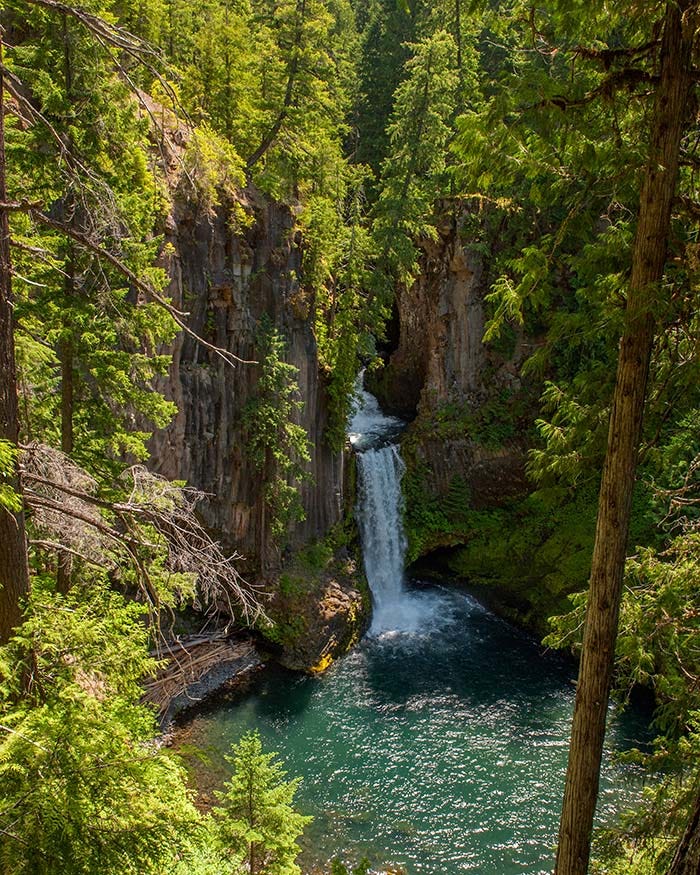
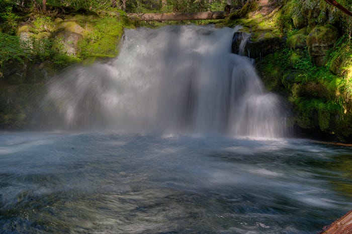
It’s one of Oregon’s prettiest falls and well worth the side trip if you’ve traveling through the area. The only other waterfall of which I got a decent photo is Whitehorse Falls, on a creek that feeds the North Umpqua:
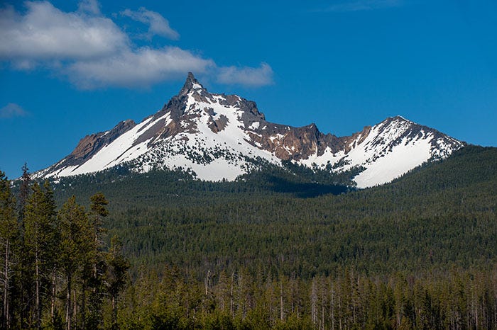
I stopped at Diamond Lake on my way back to base camp and took another shot of Mt. Thielsen, this time up close and personal.
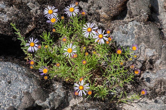
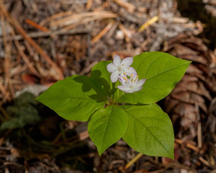
I also shot a number of wildflowers while camped at Farewell Bend. Here are a couple of them:
We (Pookie and I) broke camp the next morning and headed over to the the Middle Fork of the Willamette, near Oakridge. Once again, here’s a crude map of our route (a screenshot from Google Maps) up the backbone of the Oregon Cascades.
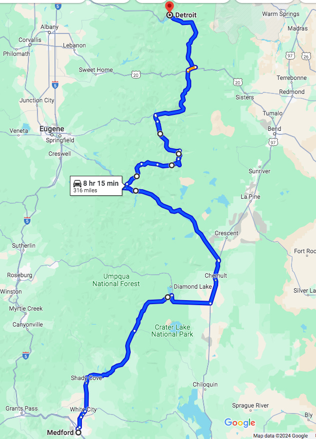
After reaching Diamond Lake, we went out to US 97 through Chemult, then northwest up SR 58 to Oakridge (near the label that says “8 hr 15 min 316 miles”). We spent two days getting there, spending the night at an RV park in Crescent Lake, which is the body of water shown due west of the town of Crescent.
This was the only leg of the trip that required leaving the mountains: yes, there is a Forest Service road from Diamond Lake to Crescent lake, but it’s not suitable for an RV.
I spent my high school and college years ('82 - '95) in Eugene and wandered Western Oregon quite a bit. Many of the places you've posted I visited long ago. It's hard for me to retrace old paths, living in Texas and that pesky imperative to keep working, but you've enabled a bit of a sentimental journey by proxy. Thank you!
Loving the flora details!