


Leavenworth Gulch aka Argentine Pass
For some fall color

Last winter, my paid subscribers received a full-resolution copy of this image:
I would swear that I published a free Substack story of this place at about the same time, but it isn’t here. I shall tell that story now, of two visits to this place about a year apart, in this one post.
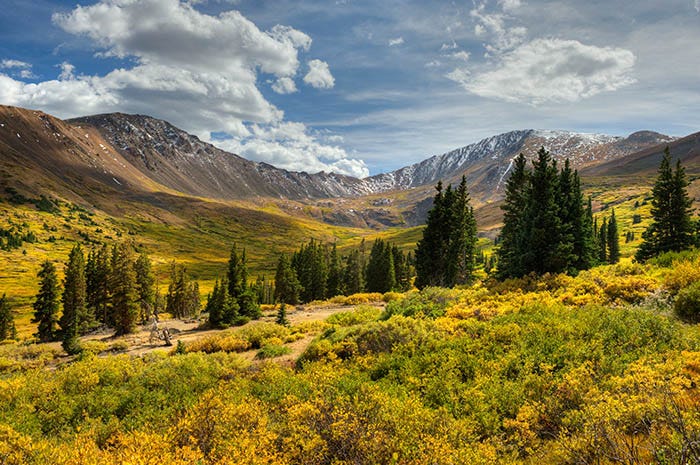
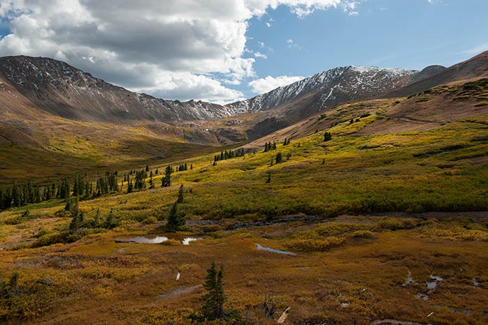
This is Leavenworth Gulch, just under the east side of the Continental Divide. There was once a town here, named Waldorf, with nine mines, a railroad, a post office (the highest in the USA!) etc. All of that is gone now. There are still ruins at some of the mines, but I found nary a board of the town itself. It’s not even a ghost town any more: even the ghosts have left! Only the scenery remains, accessible by four-wheel-drive (4WD) vehicles.
The road continues up to the top of Argentine Pass, over 13,000 feet above sea level. Colorado’s famed Fourteeners are only a few hundred feet higher. Here’s my Jeep on the knife-edged ridge:
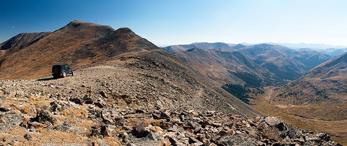
As you can see, there is no road down the other side; only a trail suitable for mountain bikes and fools.
Here’s another view down into the abyss on the west side of Argentine Pass, taken from the location of the Jeep in the above photo:
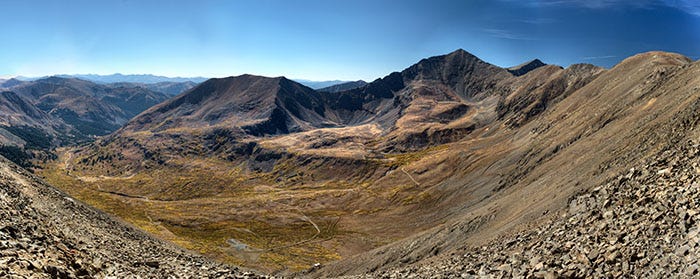
Note, if you will, the two pointy mountains in the right half of this photo. They are Grays Peak (nearest) and Torreys Peak (behind Grays), two of Colorado’s famed Fourteeners. It looks like you could walk to them from here, and indeed you can: the Continental Divide National Scenic Trail goes along the ridgetop from here to Grays.
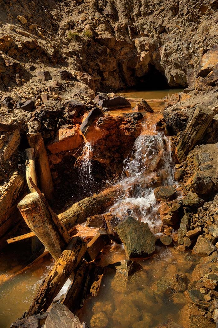
If you know your Latin, you know that “Argentine” is an old word for silver, so I presumed that this was a mountain of silver. But they say that gold was mined here too. One source I checked said that about four million dollars’ worth (at 1880’s prices) of the two metals were extracted here. Unfortunately, there are other minerals also under the ground that continue to pollute the streams below to this day:
Here’s another beautiful shot of the Waldorf townsite, taken on my second trip up there:
The 4WD road up here is a side road from the road over Guanella Pass, which by the way is paved. On my second trip to the area, I still had some light left, so I moseyed on up to that pass. It, too, is beautiful.
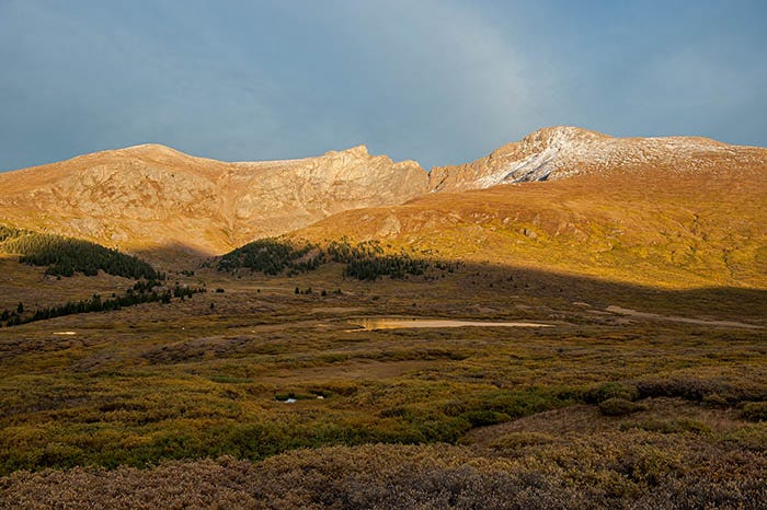
Guanella is “only” 11,700 feet above sea level. Here, we are able to look up at another of Colorado’s Fourteeners, Mt. Bierstadt (the one on the right, with a little bit of snow on it). There is a hiking trail from here to the top of it.
It was just another day in paradise…
You tell an interesting story of your travels, Ken, and the pictures take me there. Thank you.