


The Moki Dugway
DO go up it, but DON'T do it in an RV!

A dugway is a road that is carved into the side of a mountain. “Moqui” is a Spanish word that I don’t know what it means. This is a spectacular stretch of Utah State Route 261 that goes up the side of a cliff from the Valley of the Gods to the top of Cedar Mesa. It was built for trucks to haul uranium ore from some mine somewhere to a processing plant near Mexican Hat. Here is what it looks like approaching from the bottom:
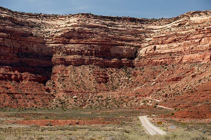
From here, it proceeds up…
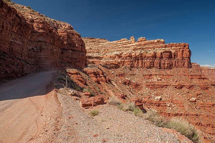
a set of switchbacks to gain 1,200 feet of elevation in about three miles.
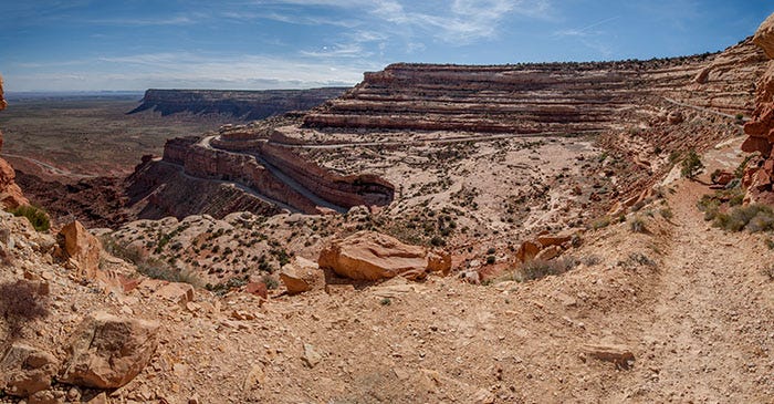
Near the top is a little place you can pull out and take a little trail that looks out over the Valley of the Gods.
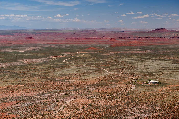
Here’s the view from the top, looking southeasterly toward Mexican Hat.
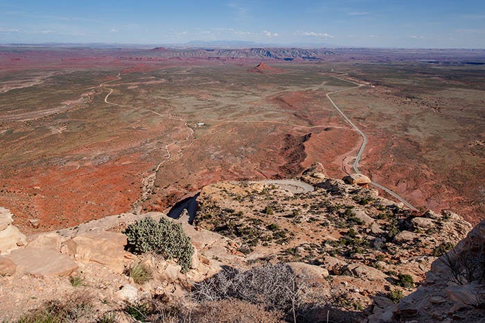
One of the Moki Dugway’s switchbacks can be seen in the center of the photo. Way down below is the SR 261. The Valley of the Gods loop road can be seen coming into it from the left. In the distance are the strawberry colors of Raplee Ridge. In the far distance, in the haze, are Arizona’s Carrizo Mountains.
Truly a place for a good cheap thrill.
Ha, we drove this last December almost out of gas and hoping not to meet traffic from the other direction.
Interesting and informative article, thank you. It seems you were able to make the climb in your RV, is that right?