The story so far: We left Nashville, TN on March 8, 2010 to move to Colorado in a new motorhome — by way of California. After spending time with my son, a US Marine who was about to be deployed, in Twentynine Palms CA and seeing the Joshua Tree National Park, we began making our way northeast to Colorado. While in Valley of Fire State Park just outside of Las Vegas, I had a job interview by phone that couldn’t be completed because of a bad cellular connection. So we started for Zion National Park in Utah.
It’s a quick, simple trip up Interstate 15 from Valley of Fire to Zion. In between is a short, 24-mile stretch of freeway that cuts through the tiny northwestern corner of Arizona as it follows the Virgin River through a spectacular 11-mile canyon.
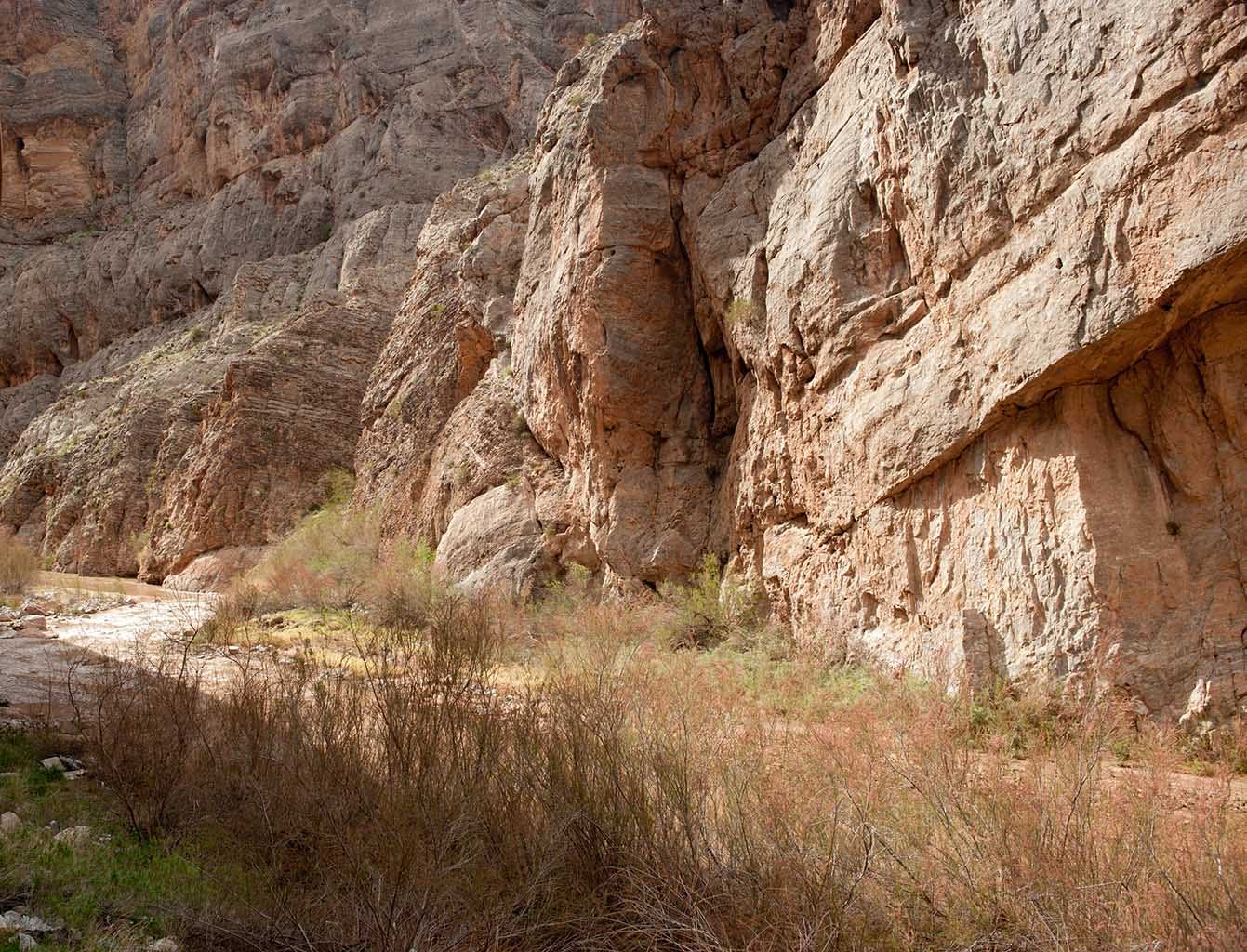
For some reason, we were driving separately. Perhaps I’d seen a canyon on the map, and wanted to be in the Jeep so I could stop for photography. I don’t remember. What I do remember is that, while stopped in the first part of the canyon called “The Narrows” to take this photo…
… I happened to look up, and saw my motorhome being expertly driven up the freeway.
This is at the very edge of one of America’s major geological provinces, named the Basin And Range Province. About three miles up the road is a different province, the Colorado Plateau. I didn’t know any of this at the time; it would be several more years before I would undertake to study geology.
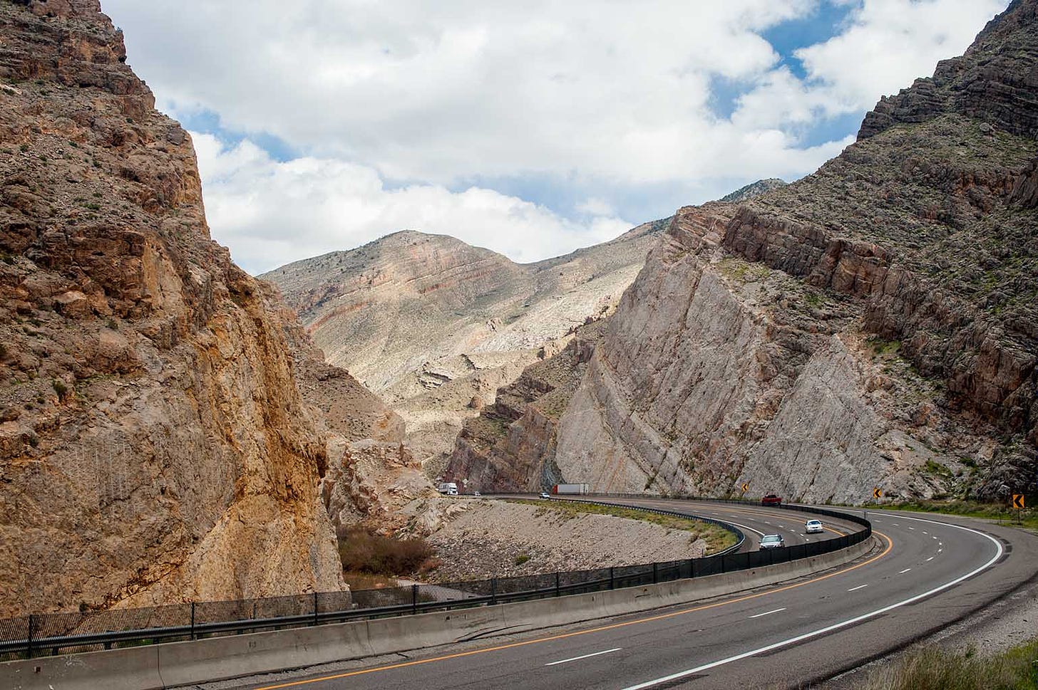
Note how the layers are tilted here:
This is a characteristic of the Basin & Range Province, where Earth’s crust was stretched and blocks of crust dropped, but not straight down. One end of each block dropped more than the other.
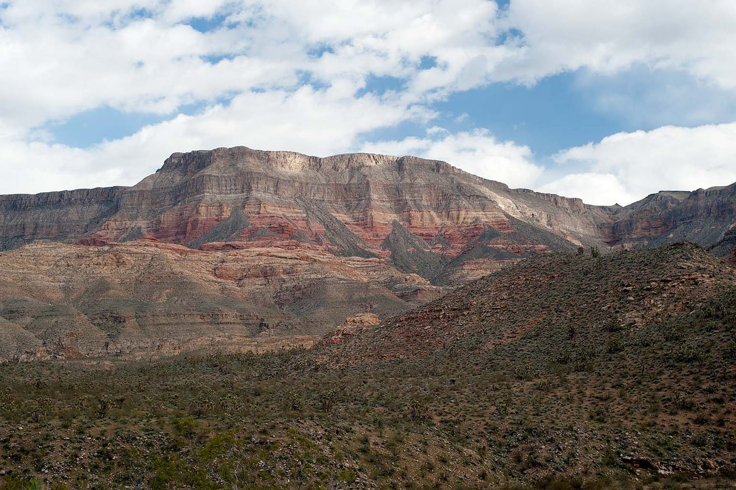
About three miles later, you arrive on the Colorado Plateau, which was uplifted - not dropped - and uplifted straight up. One of the defining characteristics of the Plateau is that all of the layers are level.
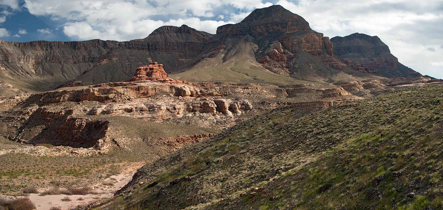
There is a BLM campground at this spot that looks to me like it will accomodate RVs of any size. The road in is paved and there is water there, but no electricity or RV dump. Someday, I have to go back and spend a week there camping, exploring and photographing.
Here’s another view of Gray Points.
And a zoom in from the previous photo:
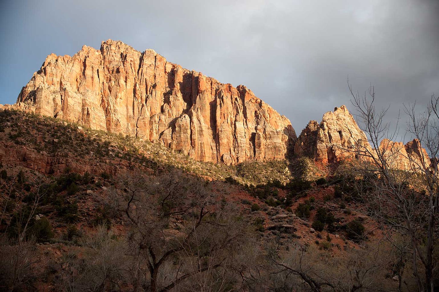
The Virgin River flows out of Zion National Park. We stayed just outside of the park gate at Zion Canyon Campground and RV Resort for the next several days. Here is part of the view from the RV park:
The Watchman is inside the boundary of the National Park. The RV park is on the Virgin River; this bluff is just on the other side of it.
We would be spending the next three days exploring Zion. What a place.



"At the edge of the Basin & Range" - dizzying, disorienting photo!