


My previous post left us at the top of Tincup Pass, 12,154 feet above sea level, on an old mining road-cum-4WD trail. Here’s a shot from the west side of the pass, looking back up toward it:
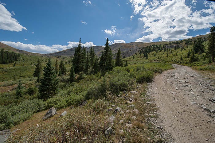
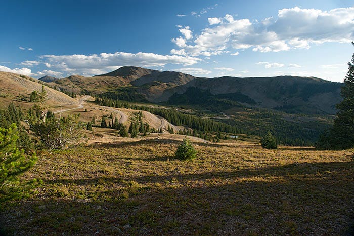
This was… I don’t know, about a mile below the pass, I guess. There are trees, so it’s at about treeline, which in that part of Colorado is about 11,500 feet above sea level.
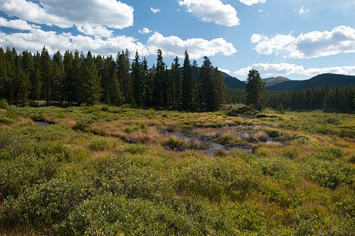
Here’s a picturesque creek further down the road, just before arriving in the “ghost town” of Tincup:
For some reason that I don’t remember, I passed right on through that “ghost town” without taking any pictures. Maybe I was disgusted because, like St. Elmo, it isn’t really a ghost town. There is even a store there. Staffed by people that aren’t ghosts yet. Where you have to pay real money, not ethereal ghost money.
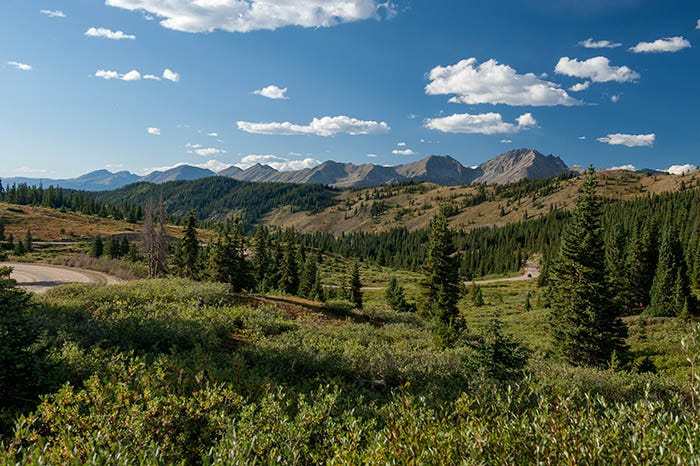
The road down from Tincup ends up in a place called Taylor Park. Now Taylor Park is HUGE. Not as big as South Park — that is Colorado’s biggest park — but it might be number two. Except for a dam, a little store near the reservoir, and some campgrounds, it is basically completely undeveloped. Wild and untamed. Here’s a shot:

I have been unable to find information on the size of this place, but it goes for dozens of miles. Besides the 4WD road over Tincup Pass, there are two other ways in and according to the local chamber of Commerce, both are paved now. There’s a road up the Taylor River from Gunnison, and a road over Cottonwood Pass from Buena Vista.
There is an official campground or two here, but mostly what I saw was RVs doing “boondocking” (off-grid camping). You can almost see a couple of them in this shot. And it is truly off the grid. There wasn’t even cellular service there.
What a wonderful place to spend a week. I regret that I never took my motorhome up there.
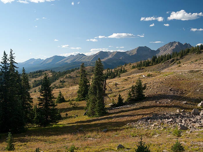
I went home to my RV over Cottonwood Pass, which was a decent gravel road even back then, and one you could pull an RV over. As mentioned above, they say that it’s paved now. Cottonwood Pass is on the Continental Divide. The scenery is very much worth it.
That’s the Collegiate Range in the distance. An awesome sight. Here’s a photo of the west side from a little higher up, near the day use area / viewpoint:
Paid subscribers will be receiving a full-sized, suitable for printing and framing, copy of one of these two photos in another day or two. I just haven’t decided which one yet.
To finish out the day, here’s a shot from the summit looking down the Atlantic Ocean side, back toward Buena Vista:
This place impressed me so much that I went back up there the next day to shoot a photosphere.
to be continued…
Ken, I love your photos and descriptions of the photos…so many beautiful shots. Appreciate your narration.