


Valley of the Gods, Utah
Near Monument Valley, and much cheaper

Monument Valley, on the Navajo Nation, is expensive. Photographers even have to pay for the privilege of shooting there1.
I don’t fault the Navajo tribe for being astute enough to profit from their land holdings. They are an intelligent and productive people. But the money was only part of the reason I skipped Monument Valley: the place was full of smoke the day I went there. So I turned around and went back north into Utah.
Very near to Monument Valley, and on BLM2 land, is another spot with similar monoliths - and it’s free to the public. Just don’t attempt that road if it’s been raining ‘coz you’ll be sunk in mud up to your axles.
It’s a 17-mile loop road, gravel in some places and dirt (i.e., mud if there has been rain) in others, that in the direction I went begins from US Hwy 163 and ends very near the Moki Dugway. You’ll see a post about the Moki Dugway in a few days.
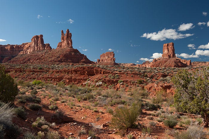
The first feature you see - and you see it before you’ve even made the turn onto the loop road - is the Seven Sailors.
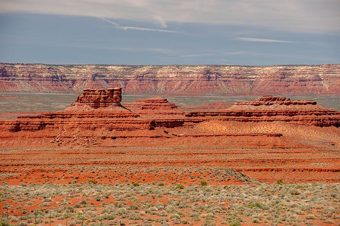
This feature is made of two different members of the Cutler Formation, laid down nearly 300 million years ago - long before the dinosaurs emerged. Almost all of this valley is composed of rock from the Cutler group.
The next feature up the road is named the Setting Hen, which kinda sorta does resemble a hen on her nest.
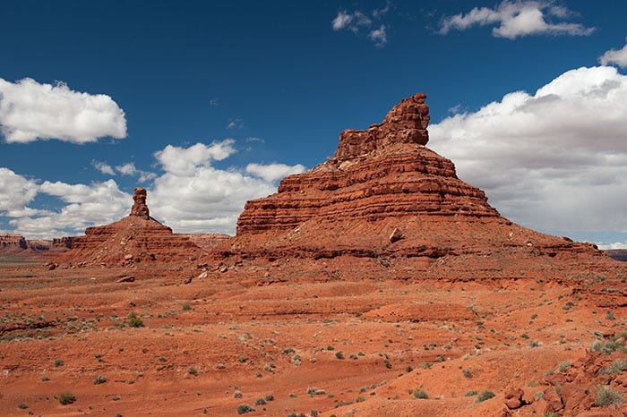
And just beyond it is a spire they named Rooster Butte. It doesn’t really look like a rooster; I think it’s only named that because it’s next to the Hen. Next is a feature called Franklin Butte. It really does look a little bit like old Ben.
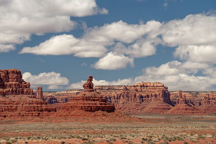
The road winds on past this to a spot near the far end of the loop. Here is a view of Franklin and the two chickens, peeking past Battleship Rock:
Here is a photosphere3 (link goes to Google Maps), taken near this spot at the far end of the loop road:
Valley of the Gods photosphere
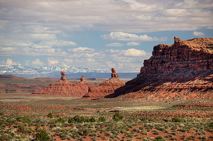
There is more Interesting Stuff to see farther along the loop road
And finally, on the way out, a spire that I thought looked like Queen Nefertiti
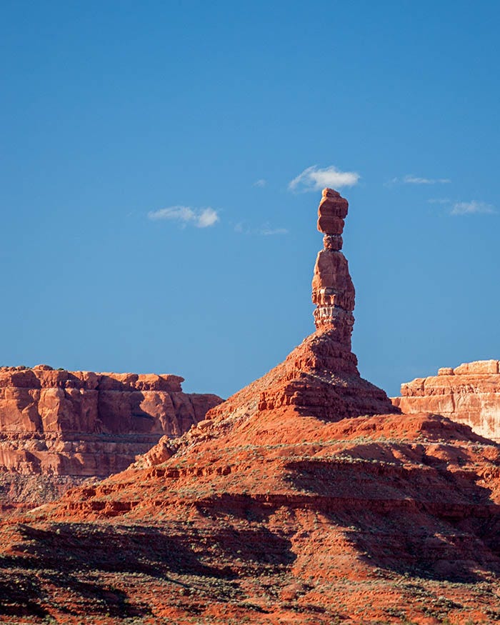
But they didn’t name it after her. It is named “Balanced Rock.” For what it’s worth, I seem to recall that there is a similar rock way up north in Arches National Park that is named after Neffie.
After this, the loop road comes out on State Route 261, which proceeds to go up the side of a cliff in a place named the Moki Dugway - the topic of my next post.
Commercial photographers. If you’re shooting a movie or a TV commercial or a magazine ad or anything from which you will derive royalty income, you must buy a permit from the Navajo Nation. Tourists taking vacation photos are exempt.
The US Bureau of Land Management, the agency that owns most of the American West. Indeed, over half of some Western states are owned by this agency.
A 360º panorama, viewable only on a computer. Once “in” the photo, use your mouse to pan up, down, left and right. Use your mouse wheel to zoom in and out.
Thank you for your work.
Fabulous!